
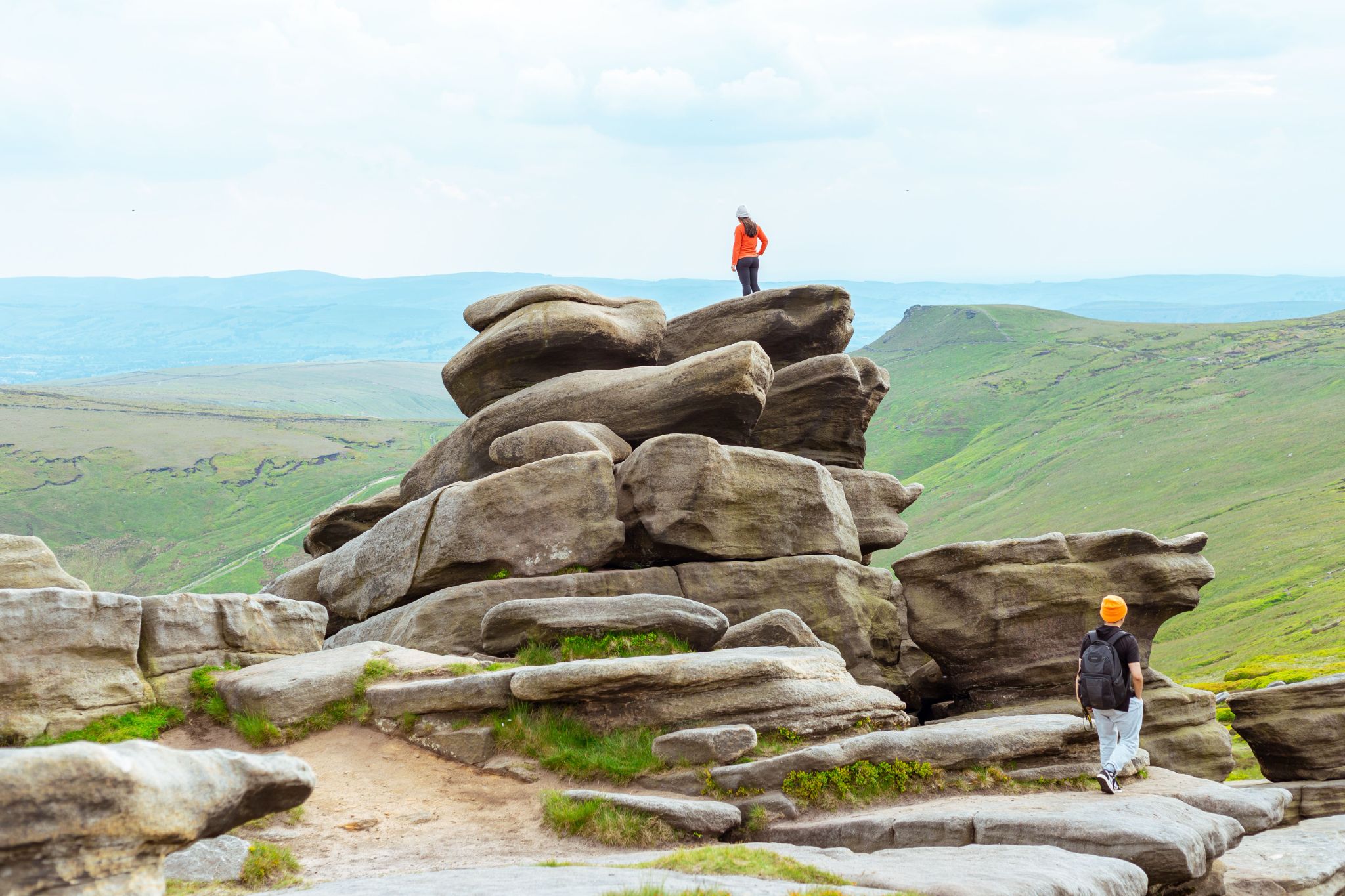
Yorkshire is huge. Wild moors, deep dales, limestone cliffs — it’s the kind of place where a single wrong turn can add three extra hours to your day. That’s why smart hikers don’t just look at a map and guess. They plan hiking routes with math, turning vague guesses into solid numbers they can actually trust.
Why Yorkshire Deserves a Spot on Every Hiker’s List
The Yorkshire Dales National Park covers roughly 841 square miles, and the North York Moors add another 554. Between them sits a patchwork of trails ranging from gentle riverside strolls to brutal ridge scrambles. Nobody covers all of it in one trip.
That’s the appeal, honestly. There’s always another valley, another summit, something new. But variety means planning matters more here than almost anywhere else in England.
The Numbers Behind a Good Route
Good route planning isn’t guesswork. It relies on distance, elevation, pace, and time, all working together like gears in a clock. Skip one variable and the whole plan can fall apart halfway up a hillside.
Take the Yorkshire Three Peaks Challenge as an example. It covers about 24.5 miles and roughly 1,585 meters of climbing, usually within a 12-hour target window. Numbers like these aren’t decoration. They’re the backbone of every safe, successful hike.
Elevation Gain and What It Really Means
Flat miles and hilly miles are not the same thing. Not even close. A single steep ascent can cost as much energy as two or three miles of flat walking, sometimes more depending on the terrain.
Naismith’s Rule, a formula hikers have leaned on for over a century, offers a rough starting point: allow one hour per 5 kilometers, then add an extra minute for every 10 meters climbed. It’s not perfect. But it beats pure guesswork, and it works surprisingly well across Yorkshire’s rolling terrain.
Distance vs. Difficulty: Finding the Balance
Longer isn’t always harder. A flat 15-mile walk along the coast can feel easier than a hilly 8-mile loop through Swaledale. This is where basic math earns its keep, separating what looks tough on paper from what actually is.
Think of difficulty as a simple equation: distance plus elevation gain, divided by your typical pace. Three numbers. That’s really all it takes to compare two routes fairly, instead of relying on gut feeling alone.
Pace, Time, and the Simple Formulas That Help
Average walking speed sits around 3 miles per hour on flat ground, though most hikers slow to 2 miles per hour once hills and rough terrain enter the picture. Multiply that by planned distance, and you get a rough time estimate. Add breaks. Add elevation adjustments. Suddenly your “quick afternoon hike” might actually eat up six hours.
Some hikers track this obsessively with spreadsheets. Others just scribble numbers on the back of a trail map. Either way, the underlying math stays the same, and ignoring it is how people end up finishing trails in the dark.
A Handy Math Solver for Route Planning
This is where a math solver becomes genuinely useful. Instead of manually working through Naismith’s Rule or pace calculations, you plug in distance, elevation, and speed, and AI math does the math instantly. No spreadsheets, no scribbled notes on a damp map. An AI math solver with solution means saving time and accurately calculating everything related to planning hiking trips in Yorkshire and beyond. AI is better with numbers, and that’s already a proven fact.
Weather, Daylight, and Seasonal Math
Yorkshire weather changes fast. Genuinely fast. A clear morning on Ingleborough can turn into thick fog within an hour, and that shifts your entire timing calculation.
Daylight hours matter just as much. In December, Yorkshire gets under 8 hours of daylight; by June, that number climbs past 17. Planning routes with math means factoring in sunset times too, not just distance and elevation. Miss that step, and you might find yourself scrambling down a hillside with a headtorch you forgot to pack.
Popular Yorkshire Routes to Try
Malham Cove to Gordale Scar offers a shorter loop, around 8 miles, with dramatic limestone scenery and manageable elevation gain. It’s a solid choice for testing route-planning skills without committing an entire day.
For something longer, the Pennine Way stretches 268 miles total, though Yorkshire sections alone offer plenty of multi-day planning practice. Breaking a route like that into daily segments, using pace and elevation math, is exactly how experienced hikers avoid burnout on day three.
Packing Smart: Weight and Distance
Here’s something people overlook: pack weight affects pace just as much as elevation does. A general rule suggests your pack shouldn’t exceed 20% of your body weight, and every extra kilogram slows you down more on climbs than on flat sections.
Factor this into your math, too. A 10-mile route with a light pack might take four hours. Add ten kilograms of gear, and that same route could stretch closer to five. Small adjustments, but they add up over a full day on the trail.
Bringing It All Together
Planning hiking routes with math isn’t about turning a walk into a physics exam. It’s about respect — respect for Yorkshire’s unpredictable terrain, its shifting weather, and the simple fact that tired legs don’t lie. Numbers won’t replace good judgment, but they’ll sharpen it.
So next time you’re staring at a map of the Dales, don’t just eyeball the distance. Do the math. Check the elevation. Estimate your pace honestly. It’s a small habit, but it’s often the difference between a hike you’ll brag about and one you’d rather forget.